
01
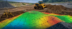
Earthworks & excavation
Ground models, cut and fill, embankments, platforms and excavation surfaces.
View scope — Earthworks & excavationSurvey · model · deliver
Practical 3D construction models from drawings and survey data.
For civil engineering, infrastructure, utilities and development projects — with clear scope, source information and QA.
UK based. Worldwide remote delivery.
Services
Six service groups, with room for a custom brief.
Choose a category to see the full scope.
Ground models, cut and fill, embankments, platforms and excavation surfaces.
View scope — Earthworks & excavation
Road alignments, kerbs, channels, crossfalls, junctions and smooth tie-ins.
View scope — Roads & infrastructure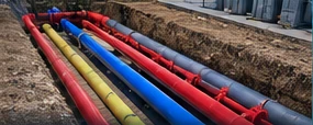
Pipe routes, duct banks, drainage networks, chambers, crossings and trenches.
View scope — Pipework, ducting & drainage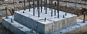
Slabs, bases, plinths, retaining elements and structural setting-out geometry.
View scope — Foundations & structures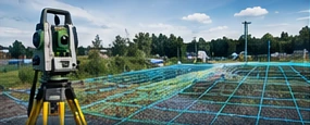
Survey processing, coordinate data and design-versus-as-built comparisons.
View scope — Survey, setting-out & QA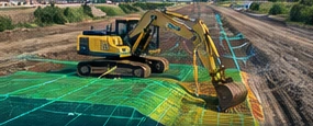
Field-ready model preparation, CAD automation and repeatable engineering workflows.
View scope — Machine control & CAD workflowsOutputs to suit your workflowDXF · XML / LandXML · TIN / DTM · 3D lines · CSV / TXT · PDF / JPG
Format details ↗Service imagery is illustrative. The interactive demonstration below uses fictional geometry.
Who we are · Why we do it
NAT Survey AI is led by Karol Krysiak, a site engineer with 20 years of experience in civil engineering and construction.
We turn drawings and survey information into practical 3D models, CAD outputs and clearer project information — with AI-assisted workflows supporting, not replacing, engineering judgement.
To close the gap between what a drawing shows and what a project team needs on site. Our aim is to make complex information easier to understand, repetitive work easier to manage and model outputs easier to review.
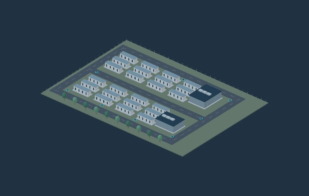 Fictional project · Simulated progress
Interactive construction demonstration
Explore the model.
Understand the sequence.
Discover a fictional construction project in 3D and plan view. Explore its layers, construction sequence and simulated completion percentages.
The model uses invented geometry, identifiers and progress values. It is a demonstration, not a client project or live progress report.
Explore Digital4D Demo Start 60-second tourTraining & digital tools
1:1 project clinics, company workshops, AI-assisted CAD workflows and digital resources. Discuss the support your team needs.
Before we start
Source information, scope and delivery requirements come first.
A short brief, the available drawing or survey formats, your required output and deadline. Relevant inputs can include PDF, DWG/DXF, XML/LandXML, CSV/TXT, coordinates, levels and sections. A secure file-transfer method can then be agreed.
Yes. Choose the outputs in your enquiry and name the intended software or equipment. Geometry, units, coordinate system and the target workflow are reviewed before agreeing the export. These are project deliverables, not downloads generated automatically by this website.
Missing levels, dimensions, references and design intent are identified for clarification. Model preparation and AI assistance do not replace approved source design, competent review or project QA.
Scope, deliverables, revisions, deadline and payment terms are agreed through a quotation or invoice. Online card, PayPal and Google Pay checkout is not active on this website; do not enter payment details here.
No. It prepares an email on your device, which you review and send from your email application. You can also copy or save the enquiry text. The website has no file-upload service; agree a secure transfer method before sharing confidential drawings.
Start a project
Share a brief outline. The available information and required outputs are reviewed before scope and price are agreed.
[email protected]Project type, available files and deadline.
Outputs, source requirements and revisions.
Work to the agreed engineering scope.
FEATURED SERVICE
Roads, earthworks, formation and construction model preparation with DXF, XML/LandXML and TIN deliverables.
EXPLORE THE SERVICE →NAT SURVEY AI ACADEMY
14-day practical digital engineering training with CAD/3D workflows, DXF/XML, engineering tools, quizzes and capstone assessment.
EXPLORE THE COURSE → STUDENT PORTAL / LOGIN