Synthetic project · Interactive demonstration
Digital4D Demo
Explore in 3D. Review the plan.
See how a construction sequence comes together.
This invented construction project demonstrates the presentation of model layers, planning stages and simulated completion percentages. It does not reproduce a client's site.
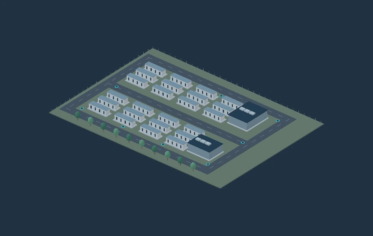 Digital4D Demo · Not a live project
One model. Different ways to explore it.
3D and plan views
Understand the fictional layout in three dimensions, then switch to the plan to follow the overall arrangement.
Explore construction disciplines
Use visibility controls to focus on parts of the demonstration, including underground service routes.
Construction plan and playback
Follow the demonstration stages. Play, pause and review the order in which the fictional project is presented.
Simulated completion
See illustrative progress from 0 to 100%. Five stages use equal demonstration weights, not measured installed quantities.
Geometry, coordinates, identifiers and completion values are invented for demonstration. Progress is illustrative, not a valuation, certified quantity or report of completed site work. The model must not be used for construction, setting out or machine guidance.
Bring clarity to your project information.
For your own project, the model scope, source drawings, survey basis, reporting rules and required outputs should be agreed first. NAT Survey AI supports construction-focused modelling across roads, earthworks, drainage, pipework, ducting, foundations and survey QA.
Discuss your project